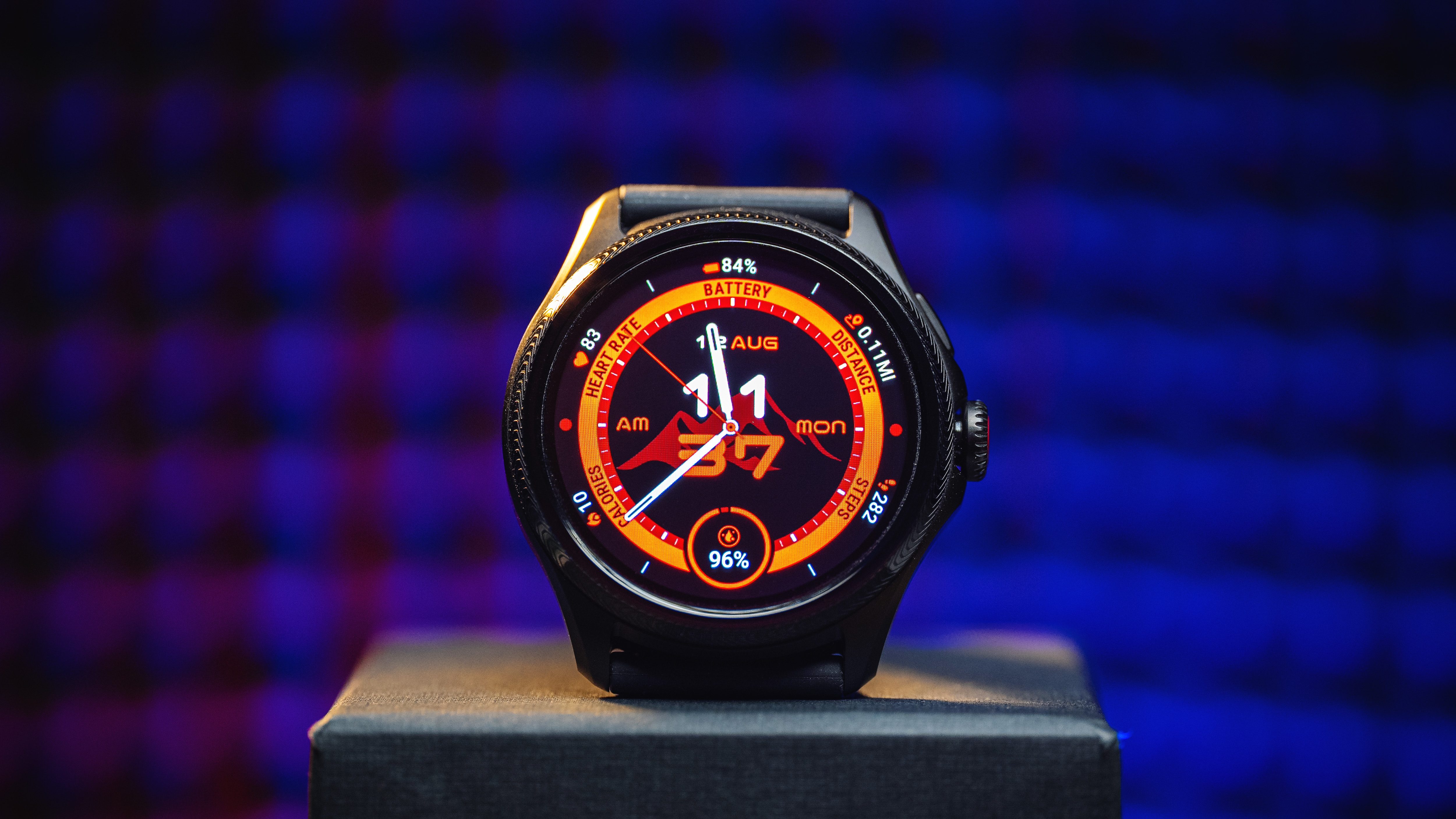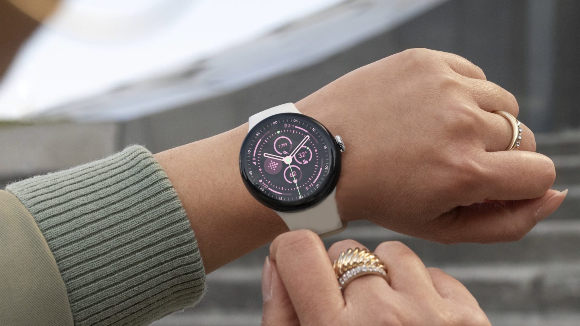
Google launched a bunch of new AI-powered features and apps in its recent Made by Google event. While the Gemini Live on smartphones stole the spotlight, there are meaningful updates announced coming to Wear OS. This includes the offline support on Google Maps for Wear OS which is now rolling out to more smartwatches.
Since launching the original Pixel Watch almost a couple of years ago, Google has improved Google Maps for Wear OS by adding new functionalities and improving navigations. Those additions even benefited non-Pixel Watch smartwatches such as the Samsung Galaxy Watch series.
Announced alongside the new Pixel Watch 3 (comparison) was Google Maps with offline support. Now, a few days from the launch, the same Google Maps feature also started trickling down to other Wear OS smartwatches.
As discovered by 9to5Google, the feature can be accessed with the latest beta version labeled 11.140.0701 of Google Maps for Wear OS app. The app update is already available for the Pixel Watch 2 (review) and should appear on more Wear OS smartwatches enrolled in the beta program of Google Maps.
Sync offline maps from phone to watch
Once updated and opened, the app will have a pop-up note mentioning the availability of offline maps from the phone that are downloaded and synchronized on the watch. It was also noticed that the map of your place beside the synced maps is automatically downloaded.
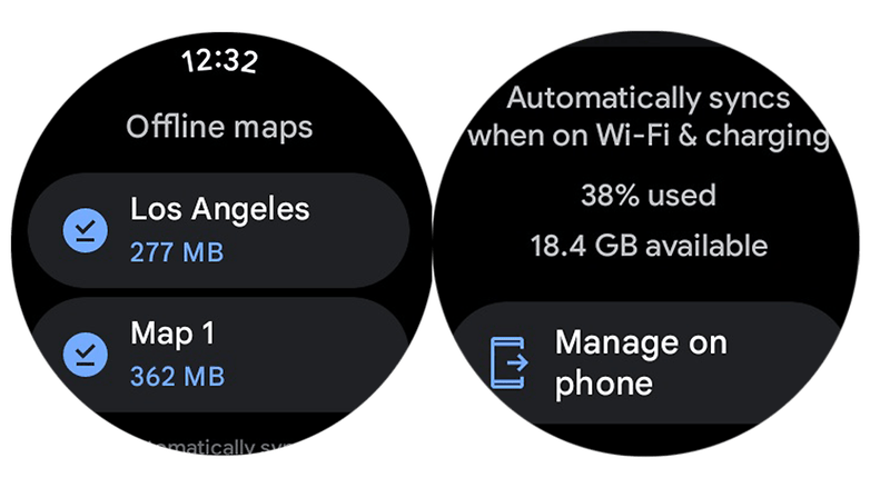
Users can manage those offline maps from a dedicated section. Meanwhile, offline maps can be added by first going to Google Maps on the handset and having the smartwatch connected to Wi-Fi while charging for these to be synchronized. There’s also a link on the section going to the phone app to let you manage maps from your handset.
With offline Google Maps, you can search or navigate to places on your wrist without an internet connection or having to rely on the connectivity to a paired phone.
Aside from offline maps, Google added the public transit feature to Wear OS a few months ago. This lets you look for directions going to train or bus stations and piers for ferries. Time of trips including departures can also be viewed.
Have you been using Google Maps on your smartwatch? What other Wear OS features would like to be added? Tell us in the comments.

